On this page
More than the city of Sparta
Laconia occupies the southeastern part of the Peloponnese. The Eurotas valley forms its principal inland corridor, with Taygetus to the west and Parnon to the east. Its southern peninsulas and coastal settlements connected it to the sea. Ancient political boundaries did not always match modern administrative divisions. Nor did the territory of the Spartan state remain unchanged: its long domination of Messenia extended power beyond Laconia in the narrower geographical sense.
Calling all inhabitants of this region Spartans can obscure important distinctions. The citizens concentrated around Sparta exercised authority over free communities of perioikoi and over helot laborers. Religious obligations, service in armies, and economic exchange connected people whose legal and political positions differed sharply. A regional history therefore asks how the center depended on surrounding settlements, rather than treating the countryside as an empty space outside the barracks.[1][3]
Valleys and routes
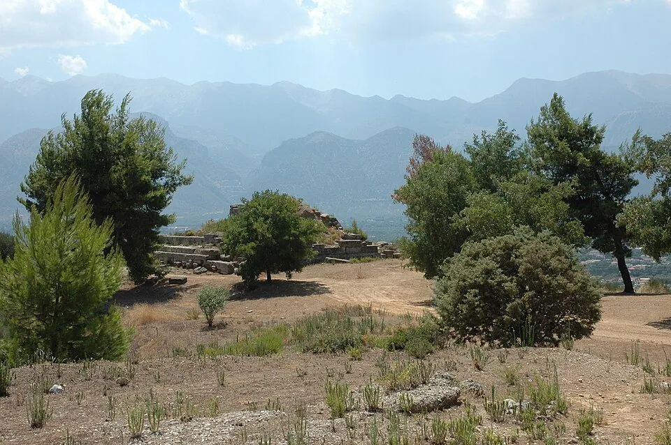
The Eurotas valley offered agricultural land and a route through the interior. Mountain slopes, uplands, and coastal districts supported different combinations of cultivation and animal husbandry. These environments were neither equally productive nor equally accessible. Travel followed passes and valleys, and the season affected movement. The landscape could complicate invasions without making Laconia permanently isolated from the rest of Greece.
Pausanias describes a region structured by roads, sanctuaries, local stories, and settlements. His account is especially useful for locating religious associations in a wider landscape, but he traveled during the Roman Empire. A monument encountered on his route may preserve an older tradition while its physical form or social role belongs to a later phase. His itinerary should be read as evidence of a particular historical landscape, not as a timeless map of Classical Sparta.[1]
Communities and dependence
The perioikic communities were important to Spartan power because they combined local life with subordination to the central state. They supplied soldiers and participated in production and exchange. Their inhabitants were free, yet their freedom did not include equal access to Spartan political decisions. Local identities and institutions could persist within this unequal relationship. It is misleading to suppose that every person outside Sparta lived under the same conditions.
Helot labor underpinned the privileged citizen households. Farming involved many tasks and seasonal pressures, and its output sustained obligations such as contributions to communal meals. The details of tenure, dues, and control are imperfectly known and may have varied. A map of Laconia cannot show these relationships directly. Political geography becomes more meaningful when connected to the households, fields, obligations, and coercion that made it function.[3][1]
A connected and changing landscape
Ports gave the Spartan state access to maritime routes and naval activity. Inland power and seaborne connections were complementary rather than mutually exclusive. Campaigns could make coastal settlements vulnerable, while religious and commercial contacts brought people and objects across regional boundaries. The conventional contrast between a closed Sparta and an outward-looking Greek world is consequently too simple. Restrictions and suspicion could coexist with necessary, sometimes extensive, exchange.
The region also changed after Spartan hegemony weakened. Communities negotiated relationships with Hellenistic rulers and Roman authorities, while old sanctuaries continued to provide points of reference. Regional survey has widened the evidence beyond the most famous monuments by recording rural activity and settlement traces. This does not produce a complete census of ancient inhabitants. It does make it possible to ask how land use and population distribution changed, and to place the citizen center within a landscape occupied by many other people.
Gythium illustrates this connection between interior and coast. Pausanias describes its sanctuaries and local traditions, placing a maritime community within the same regional account as inland Sparta.[2][1]
FOLLOW THE EVIDENCE
References & further reading
- Ancient textPausanias, Description of Greece, Book 3 ↗
The second-century CE travel account of Laconia. Its monuments and local traditions belong to the author's time and require comparison with earlier evidence.
- ArchaeologyThe Laconia Survey Project: Overview ↗
Archaeology Data Service archive of the regional survey. Rural evidence complements descriptions centered on the citizen elite.
- Ancient textThucydides, History of the Peloponnesian War ↗
Richard Crawley translation, public domain. A contemporary source for the late fifth-century BCE conflict, with retrospective accounts of earlier events.